-
User Name
Email Id
-
 Map Controls


Show Lat-Long On Map

Set Opacity
70 %

Set Plant To Plant Distance (in Feet)

Polygons Inside This Farm

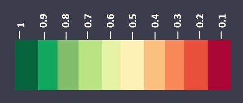
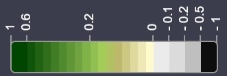
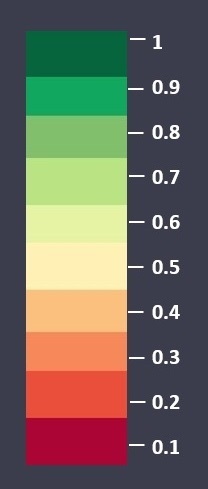
Select Colormap
Use This When Vegetation is of Good Height

Use This When Vegetation is Small


Select Image To Display On Map
 For Basic Analysis
 For Colorblind Visualization
 For Colored Satellite Image
 For Crop Health For Crops In Early Growth Stage
 For Crop Health For Crops In Later Growth Stage
 For irrigation
 For Soil Health
 For Advanced Analysis
 For Topography
 For Land Use Land Classification

Select Image Date

Request Historical Satellite Data

Change Language of The Report

Select Radar Vegetation Index Image (Use This For Crop Health During Cloudy Weather)

Select Index Range

Generate Timelapse
Interval (s)
Number of Observations

Compare Results
Select Image Type
Date 1:
Date 2:
-
 Index
Results
-
 Reports
-
 Weather Data
-
 Field Chat
New Comments
-
 Manage Team
New Invitations
-
 My Files
-
 Soil Reports
-
 Super Admin
Admin List
Download Index Results For This Field

Current weather of the field and nearby areas

Description
Weather Station:
Name
Latitude:
value
Longitude:
value
Temp. (C)
Current:
value
Min:
value
Max:
value
Pressure (hPa):
value
Humidity (%):
value
Wind (m/s):
value
Cloud Cover (%):
value
Weather Forecast

Description
Temperature:
Min:
value
Max:
value
Pressure (hPa):
value
Humidity (%):
value
Wind (m/s):
value
Cloud Cover (%)
value
Invite Team Member
Enter Email ID of the team member or share the secret keys with the team member.
Secret Key 1:
Secret Key
Secret Key 2:
Secret Key
Once an invitation is sent, the partner is required to add a partner field through their account. Once the partner adds a partner field with your secret keys, a request will appear in your pending requests section. Once you approve the request, the partner will be able to see and manage your field.


 Tutorial


